Our History
The Old Nichol
Virginia Primary School was built in 1887 and at that time was part of what was known as ‘The Old Nichol’.
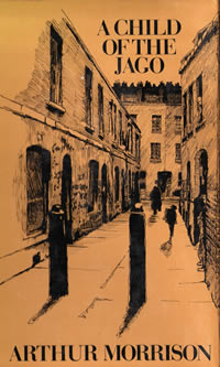
The Old Nichol was one of the most notorious slums in London. It was used as the setting for a book called ‘A Child of the Jago’ by Arthur Morrison in 1896.
This book gives a fictionalised account of life in the slum and while exaggerated, it was certainly true that living conditions were very difficult.
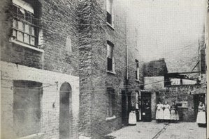
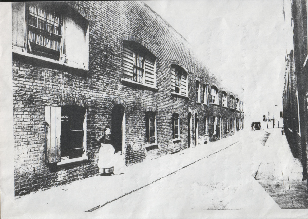
Families lived in overcrowded houses in poor condition with few amenities. Disease was rife and infant mortality rates were high. Families lived in extreme poverty.
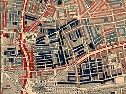
Booth’s Poverty Map
Charles Booth’s poverty map shows how poor the area was at that time.
The map was published 1889 in ‘Life and Labour of the People in London’. The red areas are “middle class, well-to-do”, light blue areas are “poor, 18s to 21s a week for a moderate family”, dark blue areas are “very poor, casual, chronic want”, and black areas are the “lowest class…occasional labourers, street sellers, loafers, criminals and semi-criminals”.
You can see that the area bordered by Shoreditch High Street to the west, Bethnal Green Road to the east and Columbia Road to the north is mostly black – this was the site of the Old Nichol and our school.
Political Reform
During the 1880s the plight of the poor and their housing were subjects of great debate, especially within the Church and amongst the more liberal politicians.
Even the Royal family took up the issue. Queen Victoria urged her Prime Minister, Gladstone, to order an enquiry and a Royal Commission on the Housing of the Working Classes was established, and the Housing of the Working Classes Act swiftly followed in 1885.
In 1891, with London’s population at over 5.5 million, Parliament passed the Public Health (London) Act and the Boundary Street Scheme Act. The demolition of the Old Nichol began in 1893 and the building of the Boundary Estate began in 1895.
The Boundary Estate
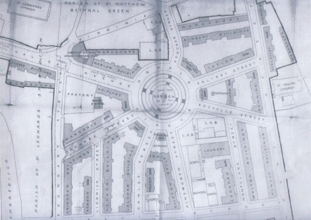
The Boundary Estate was formally opened in 1900. It is, arguably, the world’s first council housing.
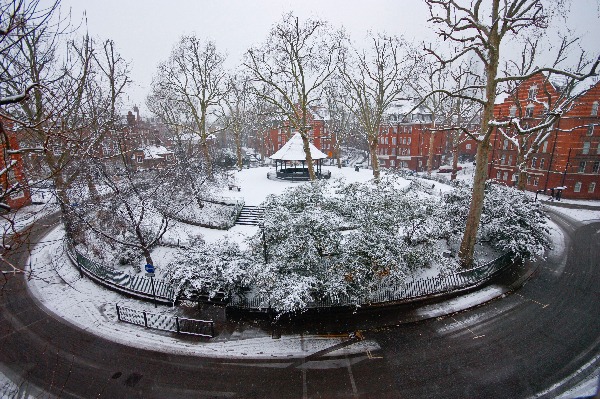
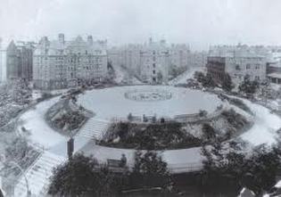
The demolition rubble was used to construct a mound in the middle of Arnold Circus at the centre of the development and a bandstand was placed at the top.
The estate consists of multi-story brick tenements radiating from the central circus, each of which bears the name of a location along the River Thames.
“Secret History of Our Streets”
Charles Booths poverty maps were used by the BBC to make a series called ‘The Secret History of our Streets’.
The series revisited different areas to see how they had changed over time. Arnold Circus was a feature of one of the programmes and gave a fascinating insight into how the Boundary Estate developed over the years, how the population has changed over time and people who lived here in the past revisited Virginia Primary School.
You can see clips from the program on the BBC Two program page.
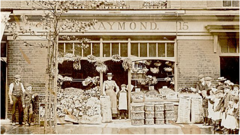
This photograph was taken in 1902 of the shop now called Leila’s Shop.
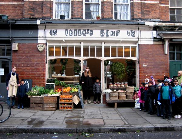
The photograph was recreated more than 100 years later with the children from year 2 at Virginia Primary School.
Centenary – Celebrating 100 Years
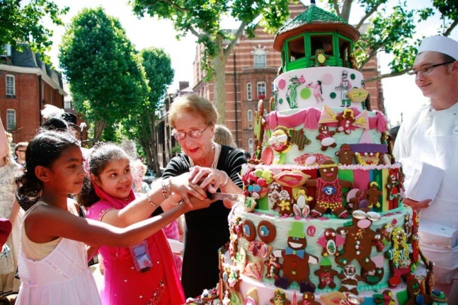
In the summer of 2010, the school helped the Friends of Arnold Circus to celebrate 100 years of the estate and Arnold Circus. There is a picnic in the circus every year in June – but this was an extra special one! The children of Virginia Primary School helped create many of the activities that were enjoyed that day. Joan Rose who is helping the children to cut the cake, is the daughter of the little boy standing in the doorway of his fathers shop more than a century before.
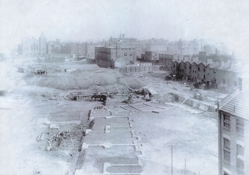
The celebration also marked the completed restoration of the bandstand. The restoration was photographed over the course of the year from a time lapse camera in our music room. This recorded the changes. The photograph below was taken at the beginning and captures a tranquil scene!
